
Cartographie
Date de sortie
- tous
- publiés
- 92 moins de 3 mois
- 21 moins d'un mois
- 4 moins d'une semaine
Disponibilité
Prix
- 24 inférieur à 5 €
- 648 de 5 à 10 €
- 1213 de 10 à 20 €
- 60 de 20 à 40 €
- 6 supérieur à 40 €
-
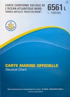 Carte marine officielle "L", 6561L, 6561L OCEAN ATLANTIQUE NORD FRANCE ANTILLES ROUTE DU RHUMXxxEpshom éditions38,10
 -

-
-
 Rußland GUS 1 : 2 000 000 / 1 : 8 000 000 / Touristische Informationen, Autofähren, OrtsregisterInconnuFreytag Brendt12,90
 -
 Carte de randonnée : Promenades et randonnées en Vercors - Quatre-Montagne Cartes Parc Naturel du VercorsCartes Parc Naturel du VercorsPnr Vercors8,00
 -

-

-

-

-

-

-

-

-
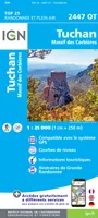 Top 25 : une carte, un site, 2447OT, 2447Ot Tuchan.Massif Des CorbieresXxxIGN – Institut Géographique National13,90
 -
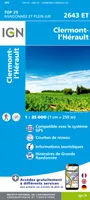 Top 25 : une carte, un site, 2643ET, 2643Et Clermont-L'HéraultXxxIGN – Institut Géographique National13,90
 -
 Top 25 : une carte, un site, 2347OT, 2347Ot Quillan.Alet-Les-BainsXxxIGN – Institut Géographique National13,90
 -
 Top 25 : une carte, un site, 2343ET, 2343Et Castres.Le Sidobre.Pnr Du Haut LanguedocXxxIGN – Institut Géographique National13,90
 -
-

-

-
 Top 25 : une carte, un site, 2443ET, 2443Et Monts De Lacaune.La Salvetat-Sur-Agout.PnrXxxIGN – Institut Géographique National13,90


